|
|
|
|
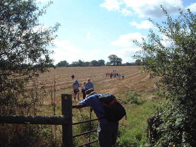
1 Sept Another lovely day and out with the Ramblers, walking from Pershall near Eccleshall. We did the walk before, about 5 years ago but that was on a very dull day in winter. It was totally different in the bright sunshine and with the fields golden through ripened corn. We walked northwards through Little Sugnall and Chatcull to the Outdoor Education Centre at Standon Bowers and then back somewhat to the east taking stretches of road and track. The route had little bits of up and down but no sharp pulls, let alone major climbs. This picture shows the character of the walk (and the fact that there were lots of gates and stiles). It also seems to show how tiring it was. Gerald, one of our strongest walkers, seems to be slumped over the gate in exhaustion.
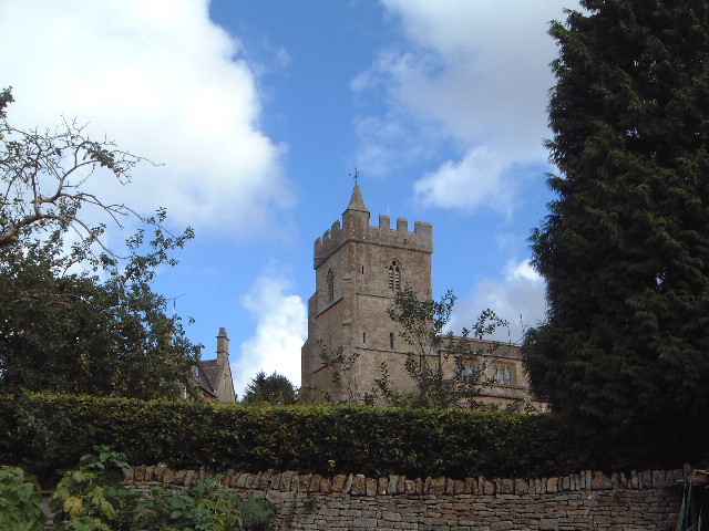
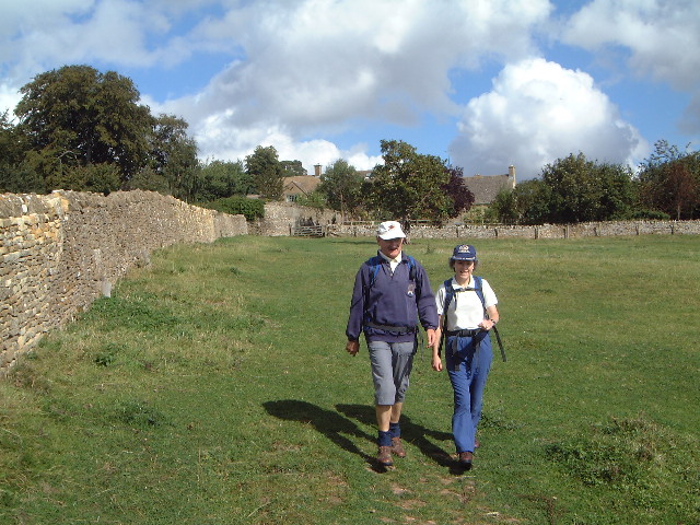
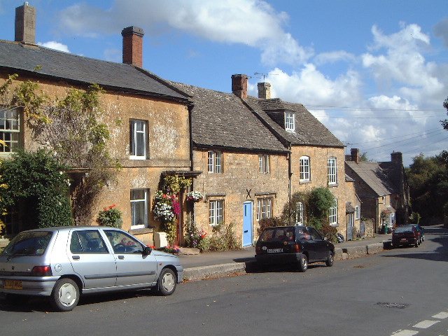
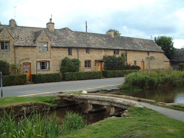
8 Sept The Ramblers annual coach ramble. This year it was to the Cotswolds, organised by Ron who led the A walk. Bizarrely there were only 6 people on it with the majority doing the B walk (from Donnington to Bourton-on-the-Water. The A walk was Bourton to Bourton. Not the usual circular walk but Bourton-on-the-Hill to Bourton-on-the-Water. We started high up by the Millennium Wood walking to Batsford Park but then picked up Ron's beloved Heart of England Way and followed it for the rest of the day. It has been extended from Chipping Campden to Bourton. Ron thought the whole 18 miles was a bit OTT so we just did the final 11 miles or so. interesting the path was also part of lots of other walks: th Monarch's Way, Donnington Way, Gloucestershire Way and MacMillan Way It's a pleasant enough walk taking in some lovely Cotswold villages like Sezincote, Longborough and Lower Swell. The lunch stop was delightful. But overall a bit on the flat side for me. Having such a small group we made excellent time without pushing it (well that's what I thought but Beryl disagreed) taking only 5 hours for 12 miles. Here are a few shots along the way
15 Sept I
think that I might have said this before but the Roaches in one place of which I
don’t tire. This was a lovely autumn day; the sunshine got better as the day
went on but it was the softer sunshine of September and it suits the colours
here. This
was a Ramblers walk starting at Gradbach; a select group of 11 led by Roz and
Stan. We walked past the youth hostel (converted mill, lovely building) and
walked down the Dane Valley Way to Danebridge. The Dane is a river that deserves
wider acclaim amongst walkers; it is splendid, at least until it emerges on to
the Cheshire Plain, and this is one of the best bits. It runs mainly through
woodlands with views down to the river but there are some meadows along the way.
We ahd coffee in one of them and jolly nice it was too. At
Danebridge we turned left up the concessionary path. This is a reasonable climb
through woodlands until it emerges just below Hanging Rock. I did a walk up here
last year for the Ramblers but we were coming from Gun. Up to Hanging Rock to
access this ridge and a pleasant stroll along here to the high point. Back down
to the road and the path down to Black Brook, except we turned off it to visit
Lud’s Church. This was the point at which I was disappointed that I had
forgotten to pack my camera. It was looking good. A stroll back to the car park;
9.5 miles. 29 Sept Another good day. The walk was around Cheddleton. I led my first walk for the Ramblers around here and today's walk was virtually the same as another one of mine. However this started in Wetley Rocks and picked up the path down to the Boat and Cheddleton Railway Station (which had been my starting point.
We headed to Consall Forge descending on to the Cauldon canal via the Devil's Staircase, a set of steps. At the bottom I saw for the first time how they have extended the Cheddleton railway this far. This was the point at which the route departed from my walk. I walked along the canal a bi before climbing through Consall Woods. This took the direct route back to Wetley Rocks. The climb out is harder than the Devil's Staircase.
|
|